Day 1 — The south, the whole way round
10 stops · by car · 6 h 10 min · ± 1 h 25 min travelling
The first full day, and the one the rental car is for: out after breakfast, back for dinner. You drive the southern loop clockwise with the sea on your right — Te Amo for the morning snorkel, the salt pans and Pink Beach, the huts where the enslaved salt workers were housed, the kite beach, the lighthouse on the southern tip — and come back up the east side to the shallow water at Sorobon. It ends on the boulevard in town, where the sun goes down. One lane, flat, impossible to get lost on.
This day is one of our audio tours
This day is the tour, stop for stop. Download it before you set off: the story starts on its own at every stop, and it works in flight mode — the signal thins out south of the salt pans.
South coast tour · 11 stops · 40 km
-
Morning
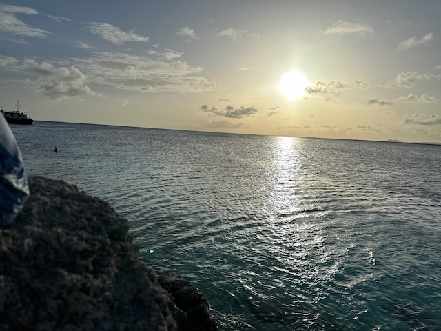 1 Te Amo Beach 1 h
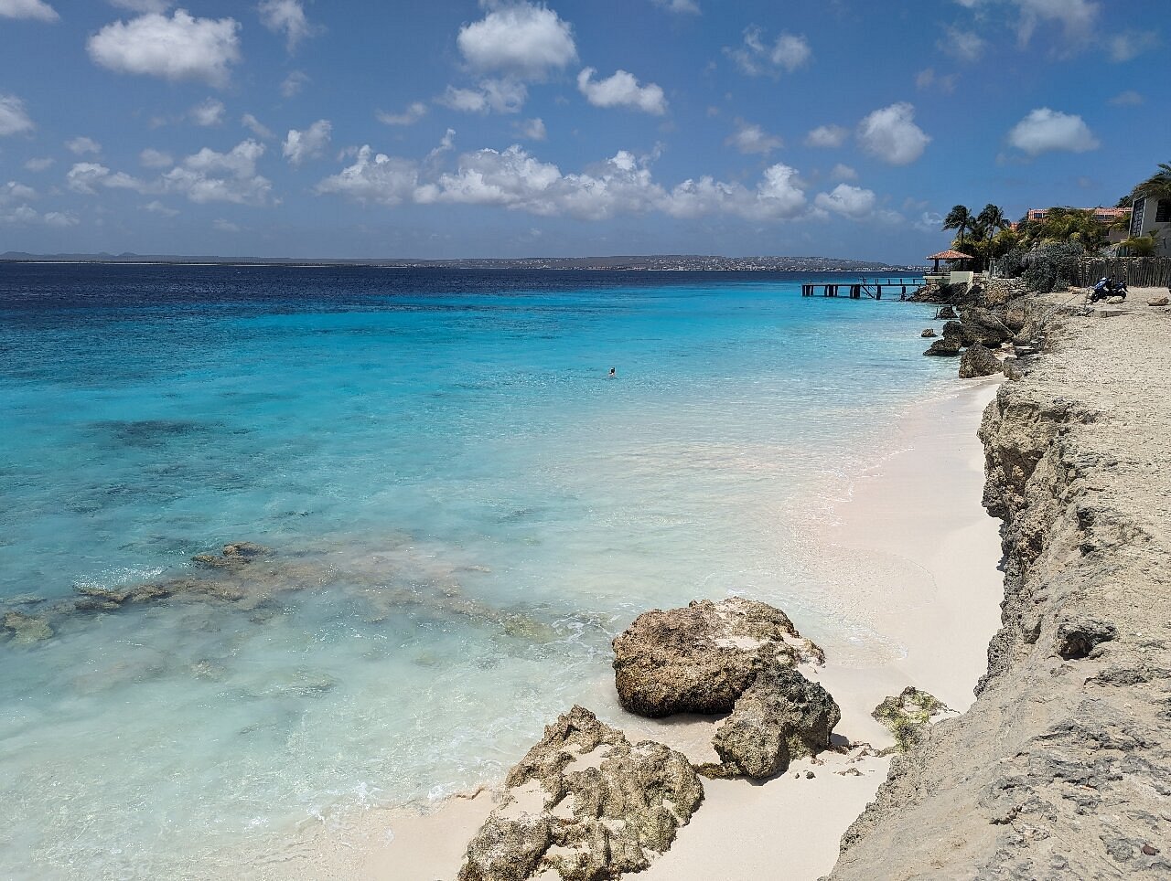
Ten minutes out of town, right beside the runway. Easy sand entry and the first snorkel of the trip — do it now, while the water is still flat.
7.2 km · ± 15 min
-
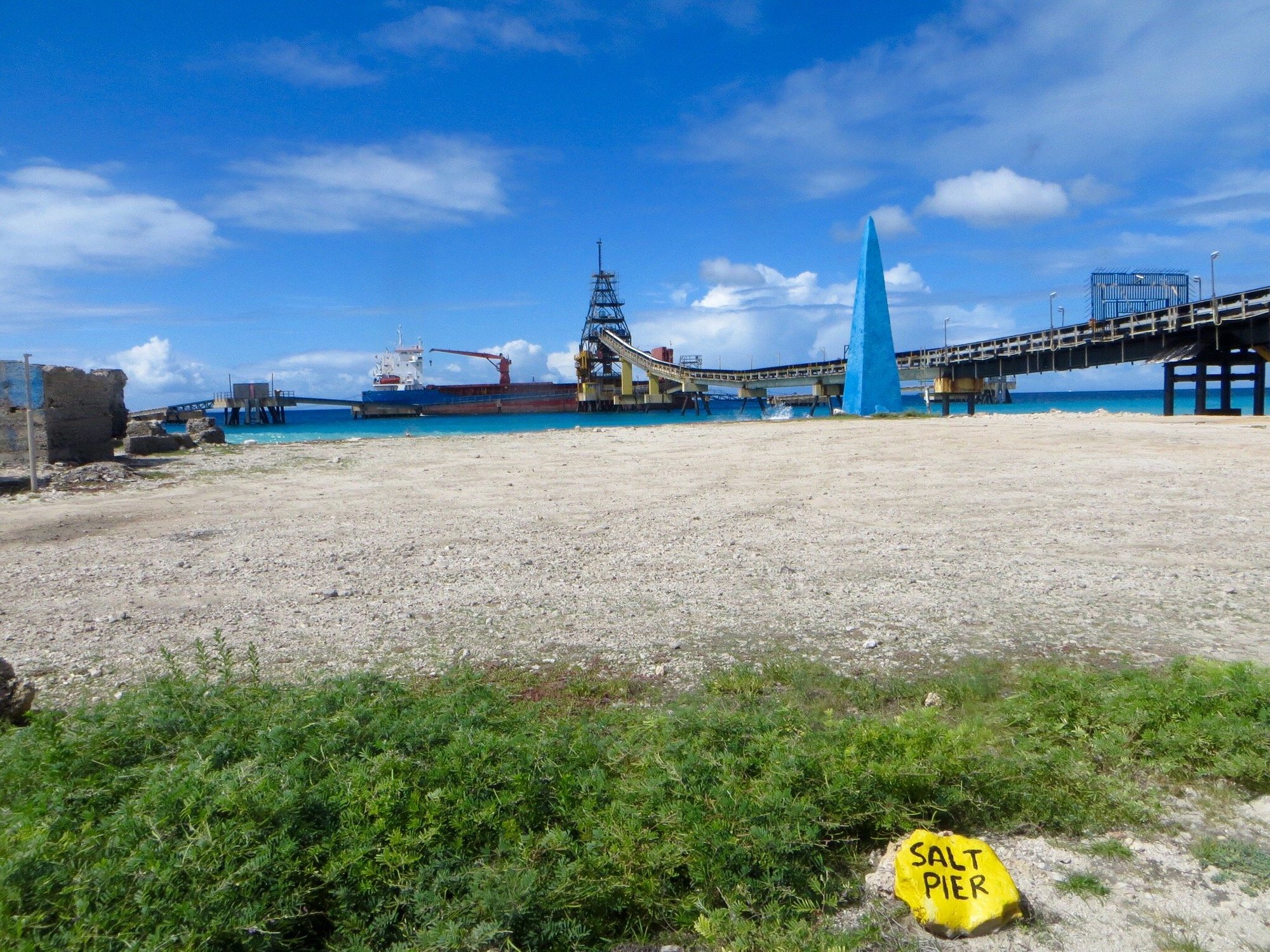 2 Salt Pans 20 min
The road runs between white mountains of salt and pink water. A photo stop, not a walk: the pans are working industry, so stay on the road and behind the markers.
2.3 km · ± 5 min
-
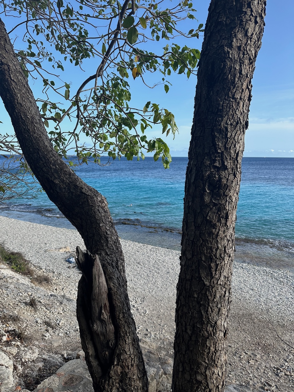
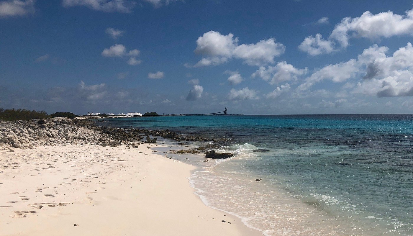 3 Pink Beach 1 h
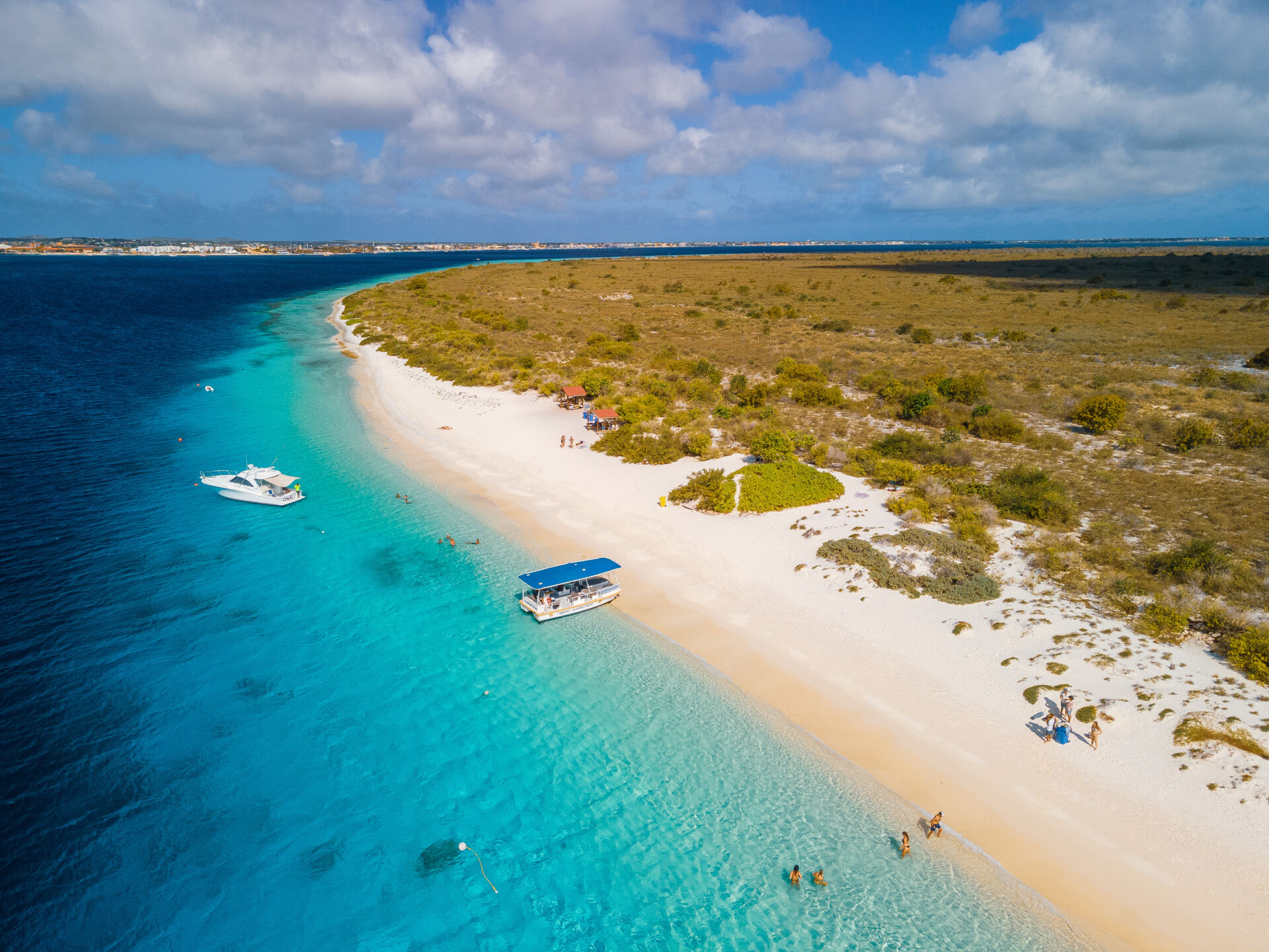
An hour on the sand, where the pink comes from crushed shells. Nothing here at all — no shade, nothing to buy — so bring your own.
0.9 km · ± 5 min
-
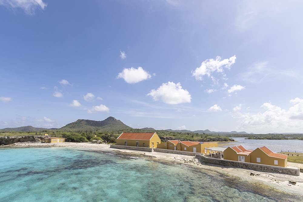
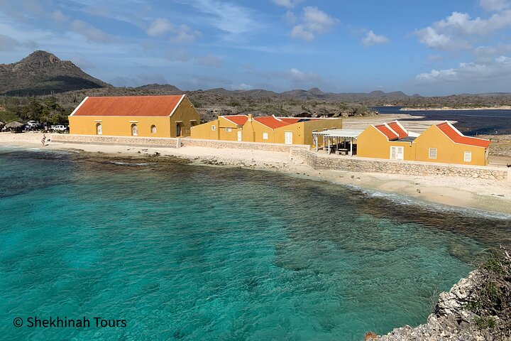
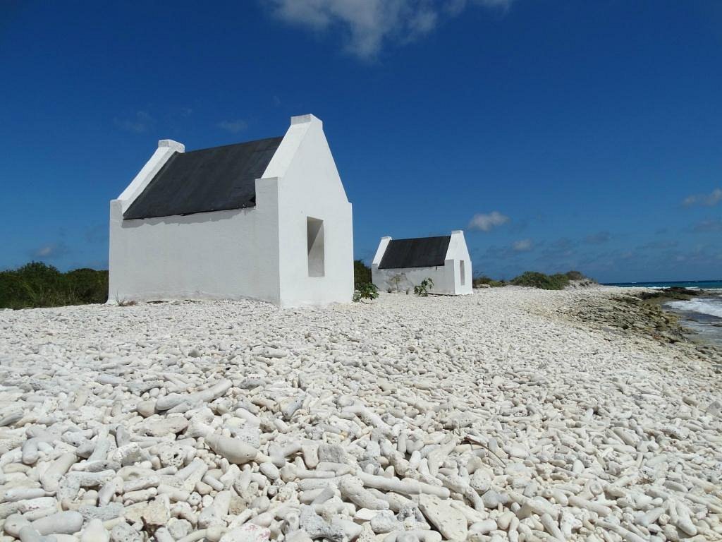 4 White Slave Huts 20 min
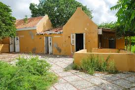
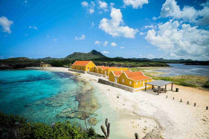
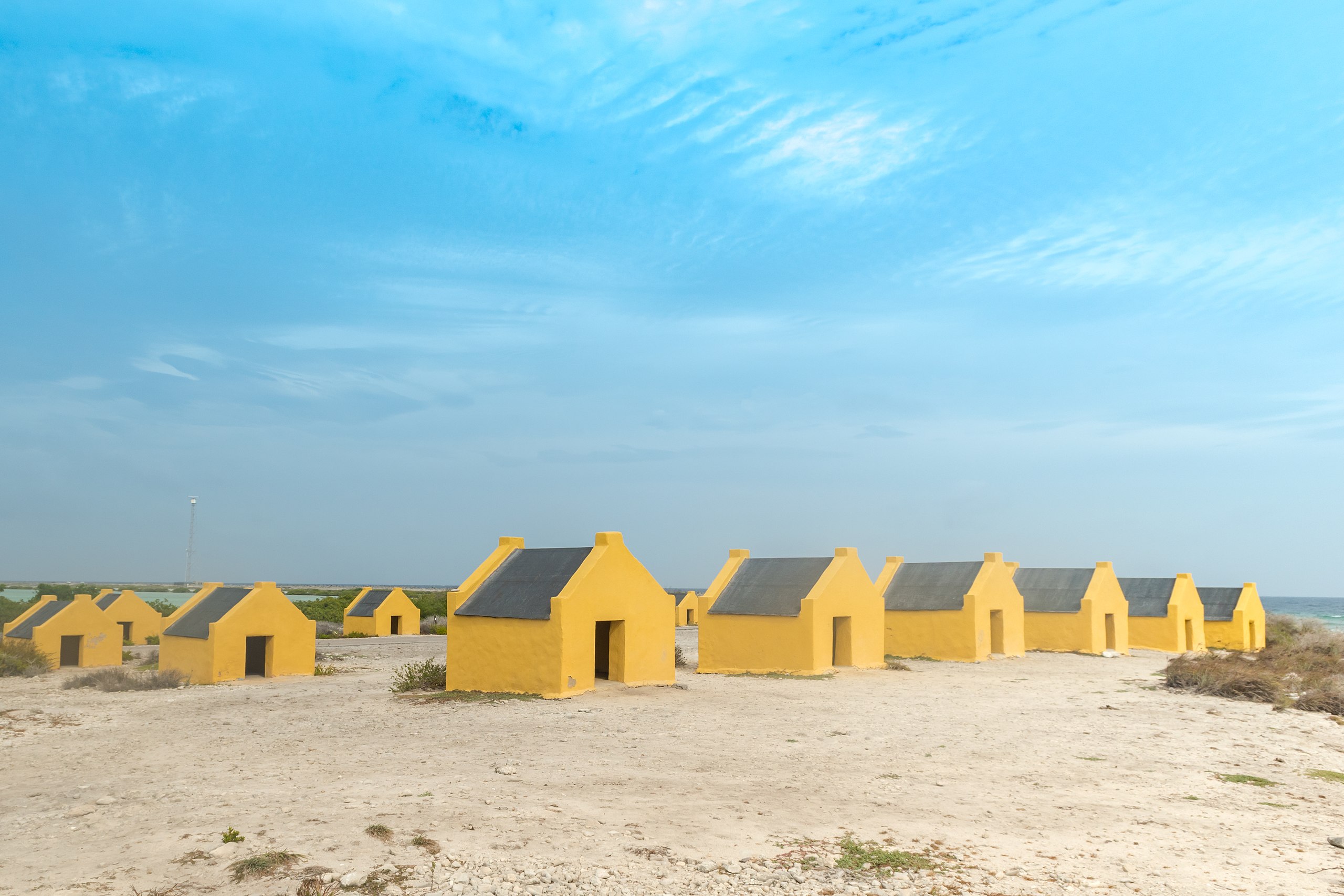
The first of the two sets, on the shore side of the road. Barely tall enough to sit up in, and built to house the enslaved workers of the salt pans. The sign is worth reading before you photograph them.
2.9 km · ± 5 min
-
Afternoon
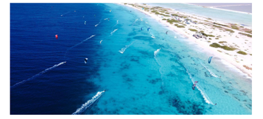 5 Atlantis Beach 30 min
The kite beach, and by early afternoon the wind is up. You do not have to get in the water — half the point is watching from the shore.
3 km · ± 5 min
- 6 Red Slave Huts 20 min
The second set, a few minutes further south. Same story, and the audio at both stops is the same recording — one telling, two places.
1.9 km · ± 5 min
-
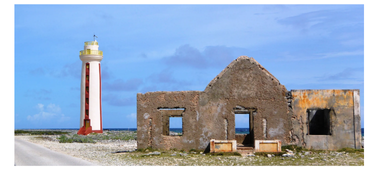 7 Willemstoren Lighthouse 20 min
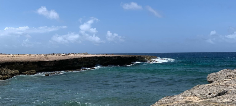
The southern tip, where the calm west coast and the rough east coast meet in one view. You can see the difference in the water from where you park.
8.9 km · ± 20 min
-
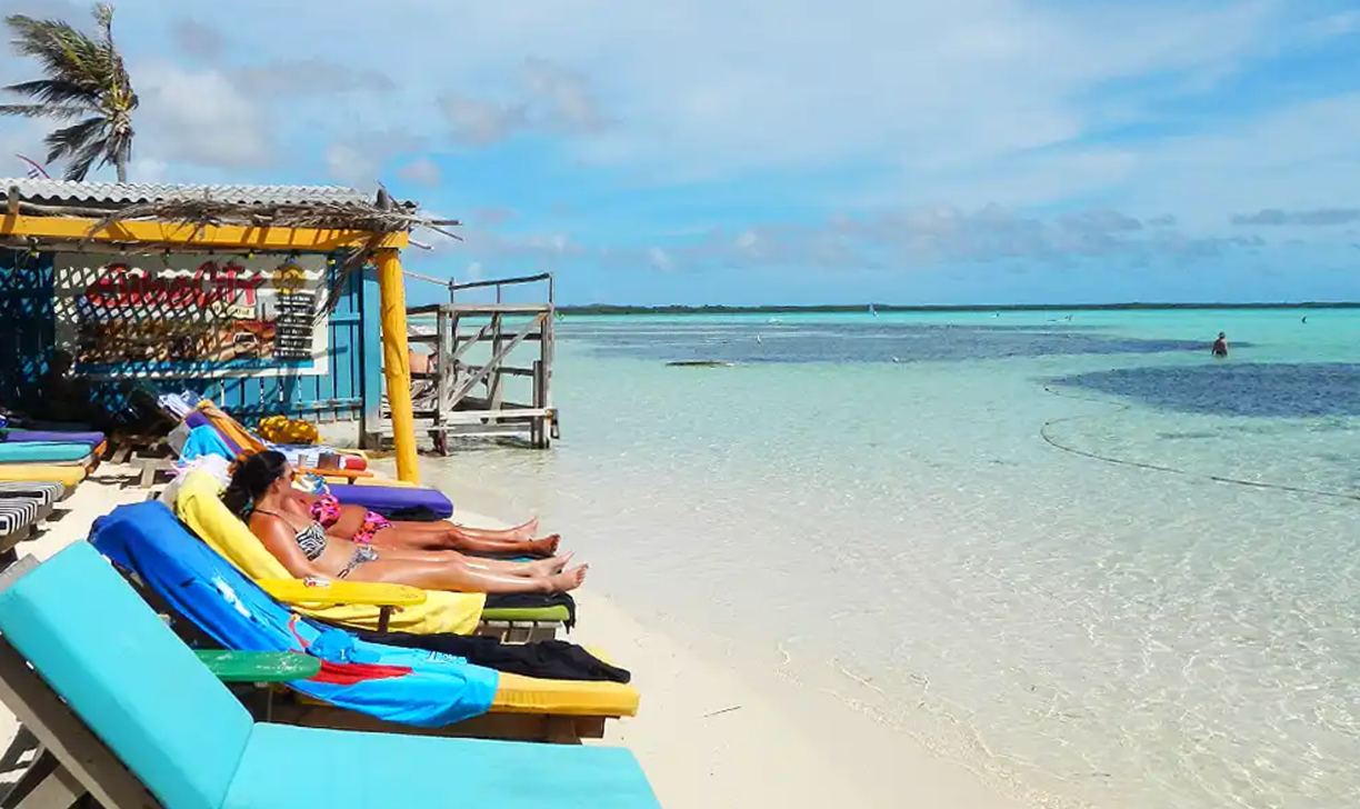 8 Sorobon Beach 1 h 15 min
Round the corner onto the east side, and the water changes completely: waist-deep, flat and warm across the whole bay. The windsurfers are here, and so is a drink at the end of the driving.
1.5 km · ± 5 min
-
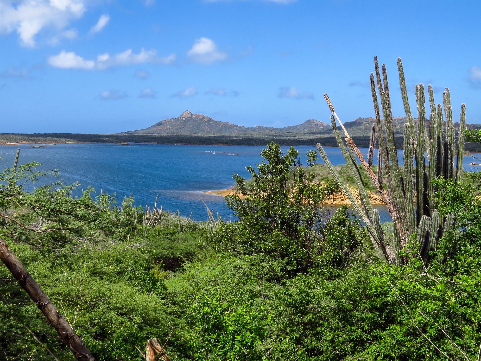
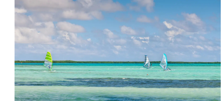 9 Sorobon Viewpoint 20 min
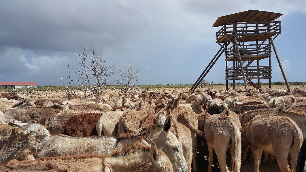
A stop on the road above the bay. Flamingos and wild donkeys use the flats behind it, which are protected — stay on the main road.
8.4 km · ± 20 min
-
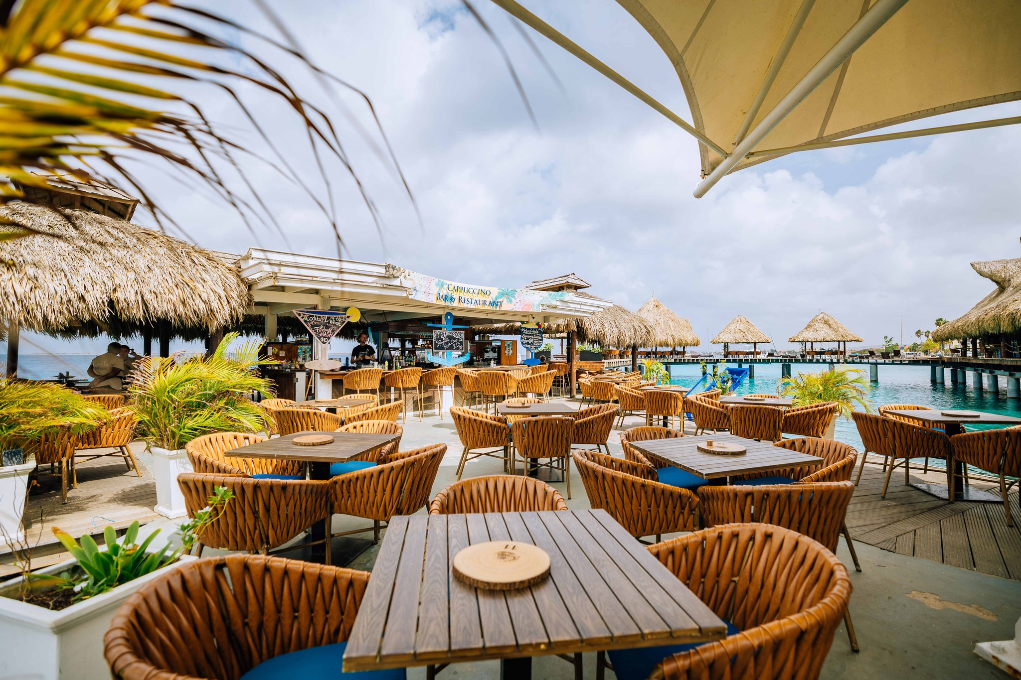
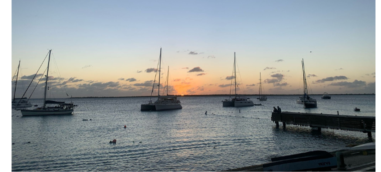 10 Boulevard Kralendijk 45 min
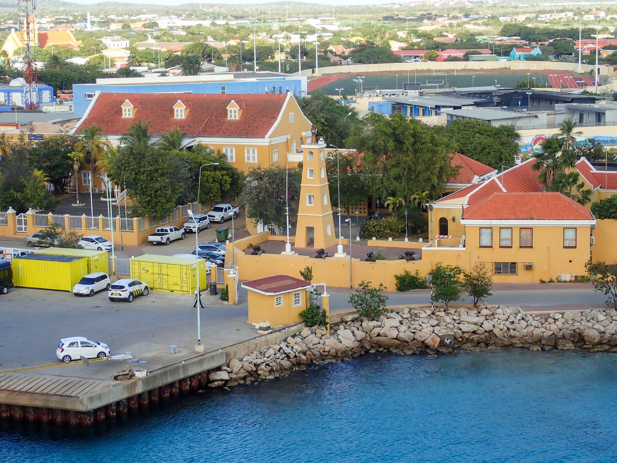
Back in town for the last hour of light. The boulevard faces west over Klein Bonaire, and the sun goes down between half past six and seven all year round.