Data updated on
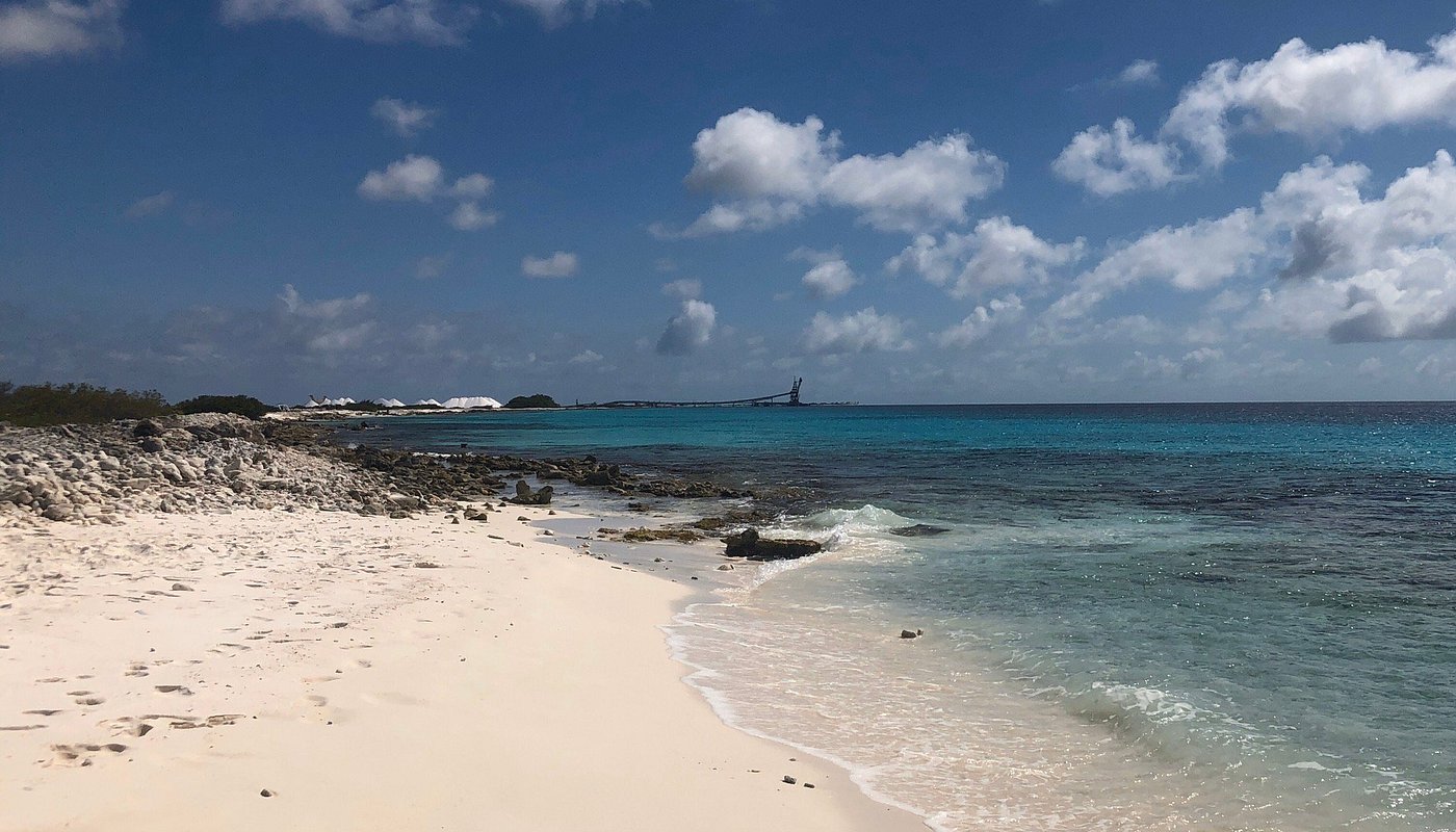
Bonaire · The whole island
Ultimate island tour
The whole island in one day, in the order that actually works: the north while the water is still calm, the south when the light goes low.
- Duration
- 3–4 hours
- Distance
- 70 km
- Stops
- 16
About this tour
This is the long one: a full loop from town up the west coast, across the middle, down past the salt pans and back. You drive it yourself and the story at each stop starts on its own when you get there.
It is a full day, and it is meant to be. The driving is not what takes the time — Bonaire is small and the roads are empty by most standards. What takes the time is stopping, which is the point.
The tour in numbers
- Duration
- 3–4 hours
- Distance
- 70 km
- Stops
- 16
- Language
- Audio in English; the app in Dutch and English
- On the road
- Works wherever you are, wifi or not
- Download
- The map along the route and the audio are downloaded per tour
- Price
- A paid audio tour — you see the price in the app
The route on the map
The stops in order. Click a pin for the name.
-
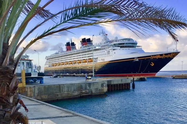 01 Cruise Port
 -
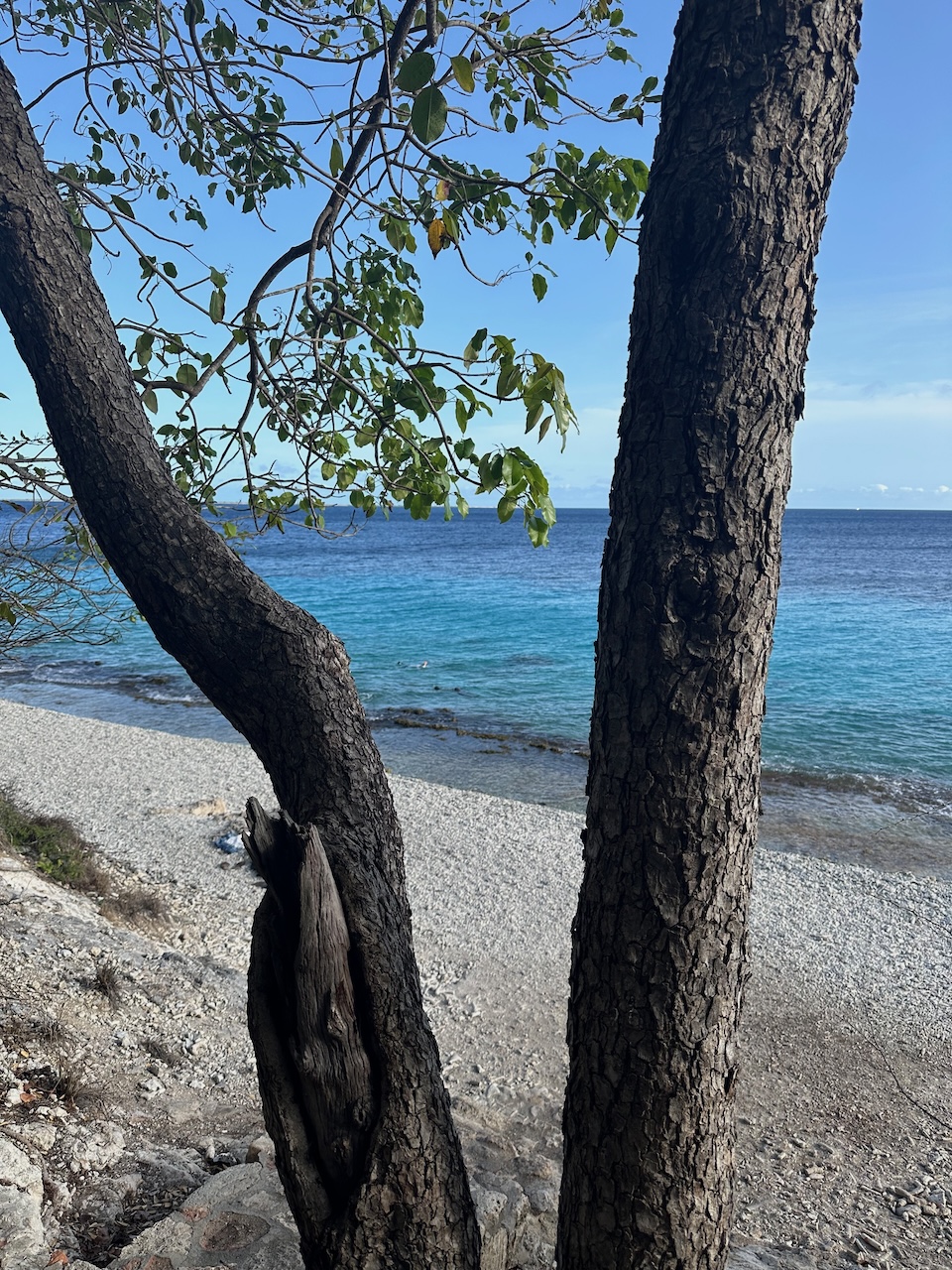 02 1000 Steps
 -
 03 Devil’s Mouth
 -
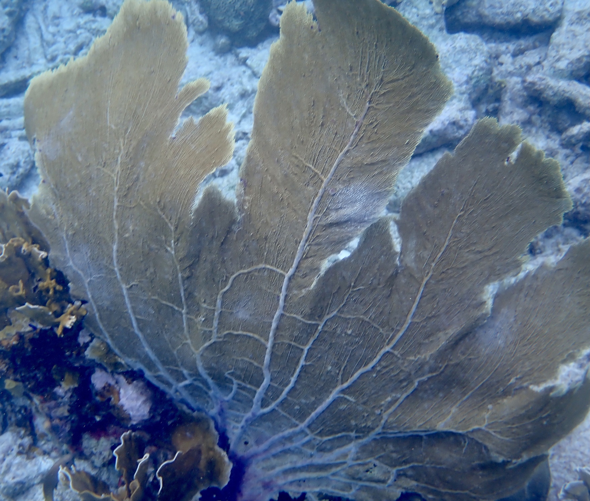 04 Landhuis karpata
 -
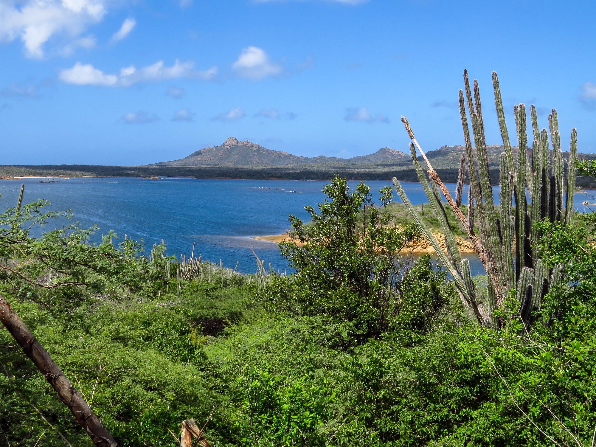 05 Gotomeer
 -
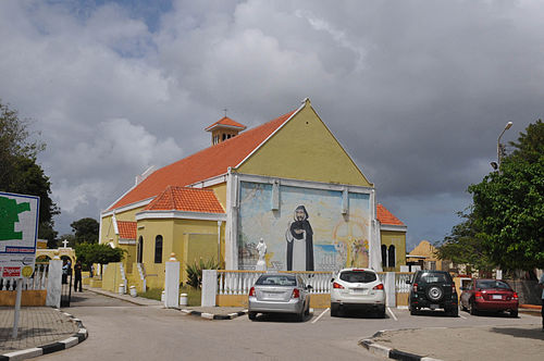 06 Rincon
 -
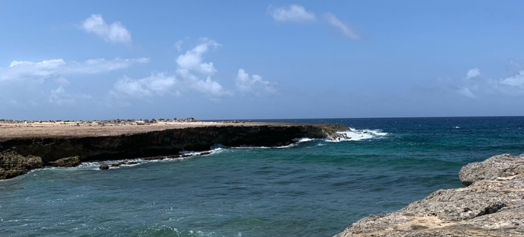 07 Eastcoast
 -
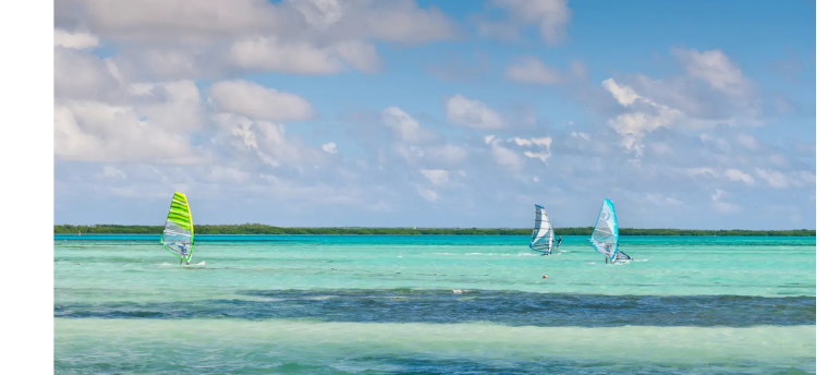 08 Sorobon Viewpoint
 -
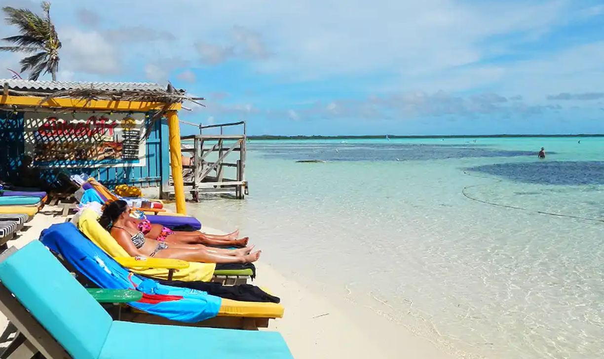 09 Sorobon Beach
 -
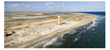 10 Willemstoren Lighthouse
 -
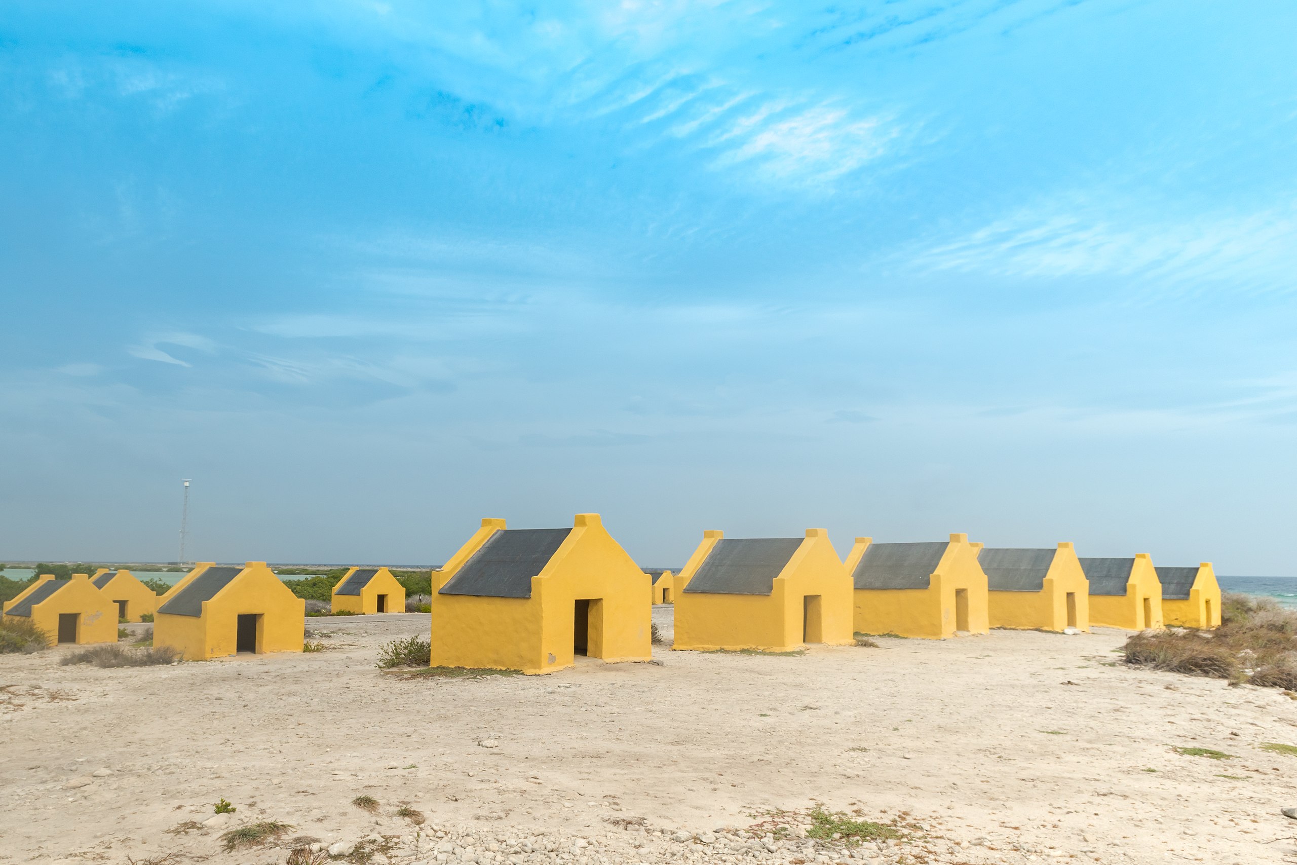 11 Red Slave Huts
 -
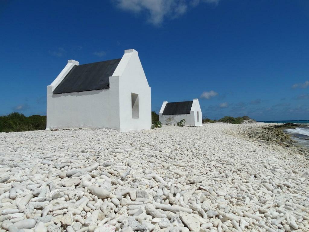 12 White Slave Huts
 - 13 Pink Beach
-
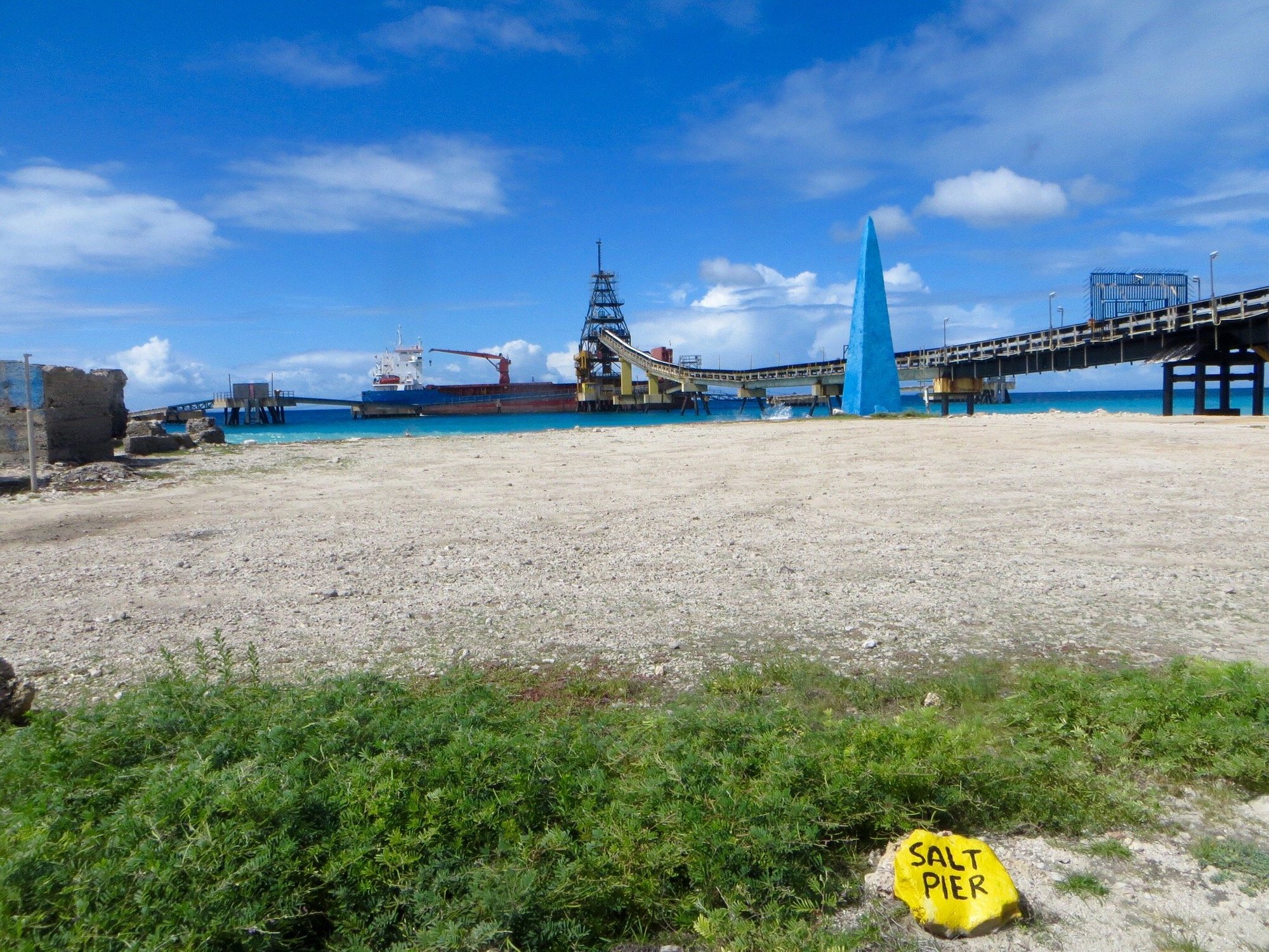 14 Salt Pans
 -
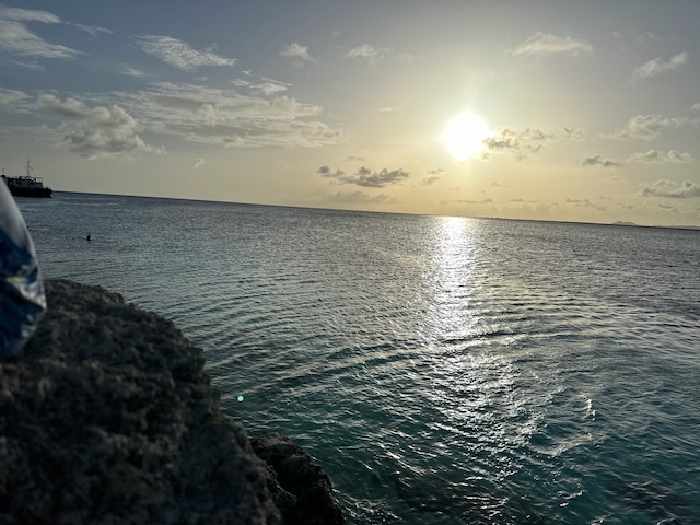 15 Te Amo Beach
 - 16 Cruise Port
The stops, and what you hear there
At every stop the story starts by itself when you arrive. Here are the first ones; the rest come with the tour in the app.
-
01
Cruise Port
The cruise pier sits in the middle of Kralendijk, so the route starts where the ships come alongside and the town begins — not at a car park outside it.
10 min here · 0:16
-
02
1000 Steps
1000 Steps is a shore dive and snorkel site on the northwest coast of Bonaire, about twenty minutes' drive north of Kralendijk.
30 min here · 1:30
About this place -
03
Devil’s Mouth
Devil's Mouth is a stretch of the wild northeast coast of Bonaire where the swell drives into undercut limestone, about half an hour's drive from Kralendijk on the road…
10 min here · 0:41
About this place -
04
Landhuis karpata
Landhuis Karpata is the ruin of a plantation house on the coastal road in the northwest of Bonaire, about thirty minutes' drive from Kralendijk and just above the dive site…
10 min here · 1:02
About this place -
05
Gotomeer
Gotomeer is a saltwater lagoon in the northwest of Bonaire, near Rincon and about thirty-five minutes' drive from Kralendijk.
10 min here · 0:59
About this place -
11 more stops in the app
With the story at each one, and directions in between.
Why this order
The loop runs north first because the west coast is a morning coast. The water at 1000 Steps is clearest before the day warms up, the drive past Karpata is at its best before the light flattens, and the flamingos at Gotomeer move most in the early hours.
The middle of the day belongs to the east side. Sorobon needs wind and the trade wind builds after about eleven, so arriving there around midday is not a compromise — it is when the bay is doing what it is famous for.
The south is the afternoon half, and that is not an accident either. Pink Beach reads pink in low light and looks like ordinary sand at noon; the salt pans and the slave huts are on the same road, so the light that suits one suits all three. End at Te Amo, which is four minutes from town and faces west.
Doing it the other way round costs you nothing in kilometres and most of what makes the stops worth stopping at.
Practical
- You need a car, and you need the whole day. Half a day is not enough for this route; if that is what you have, drive the north or the south instead.
- Start early. The order below only works if the morning stops happen in the morning.
- Traffic drives on the right. Fuel stations are few and mostly around Kralendijk, so fill up before you head out.
- Download the tour over wifi before you leave. The map along the route and the audio go onto your phone, so it holds up away from town, where the signal does not.
- Take more water than you think, and something you can stand on rock in. Pink Beach has no shade at all.
- This route stays outside the national park, which charges its own fee and keeps its own hours.
Questions people ask
- Where does the Ultimate island tour start and end?
- It starts and ends at Cruise Port, so you come back to where you parked.
- How long does the Ultimate island tour take?
- The app puts it at 3–4 hours over 70 km, with 16 stops. Allow longer if you swim or eat on the way: the story at a stop only starts once you are there.
- Do I need a car?
- You need a car, and you need the whole day. Half a day is not enough for this route; if that is what you have, drive the north or the south instead.
- Is there a guide?
- No. You go at your own pace, and the story starts by itself when you arrive — no group to keep up with, no departure time to make.
- Does it work without internet?
- Works wherever you are, wifi or not. The map along the route and the audio are downloaded per tour.
- What language is the audio in?
- The tour audio is English. The rest of the app is in Dutch and English.
- What does it cost?
- A paid audio tour — you see the price in the app.
Ready to drive it
You buy and download the tour in the app. Do that over wifi before you set off — the map along the route and the audio go onto your phone.